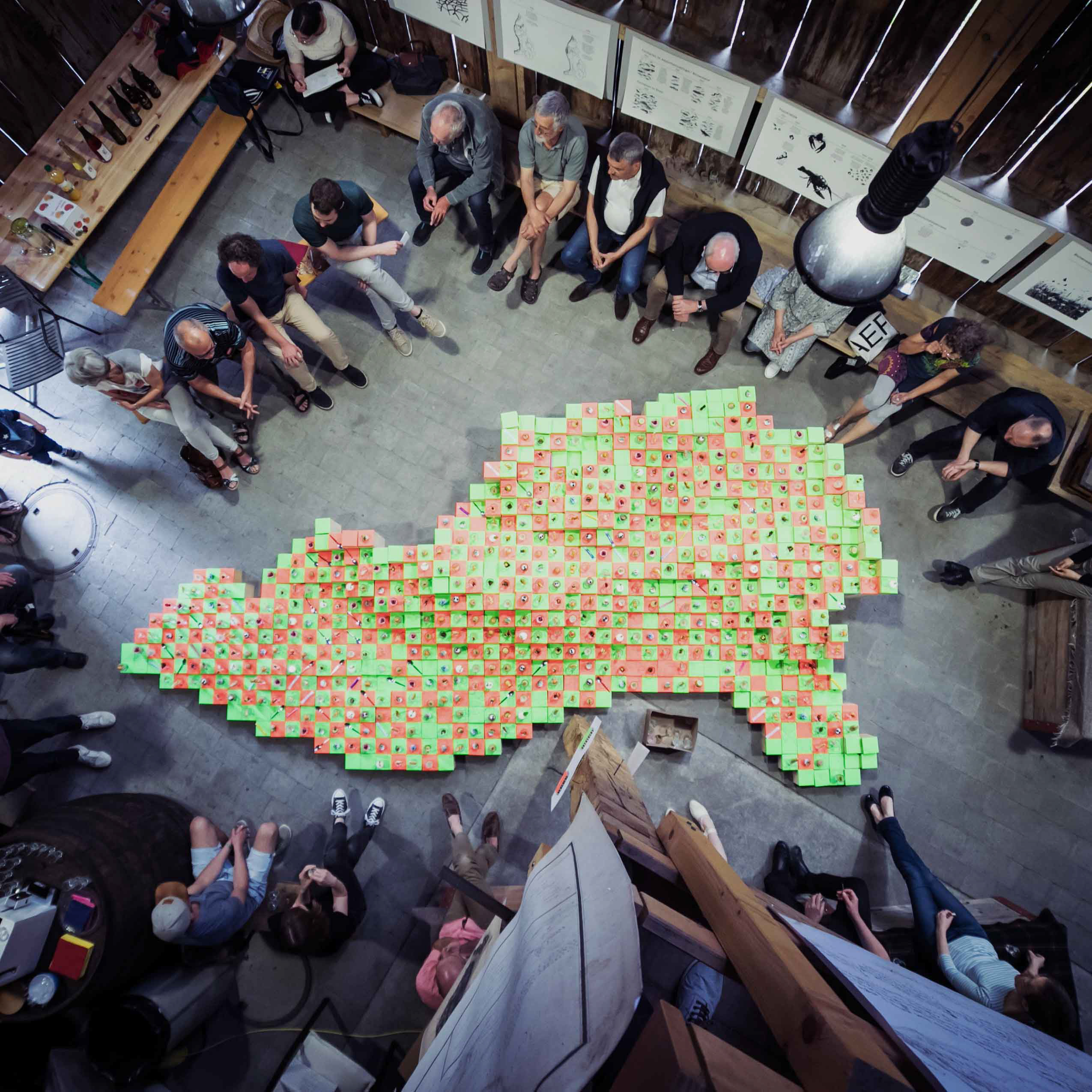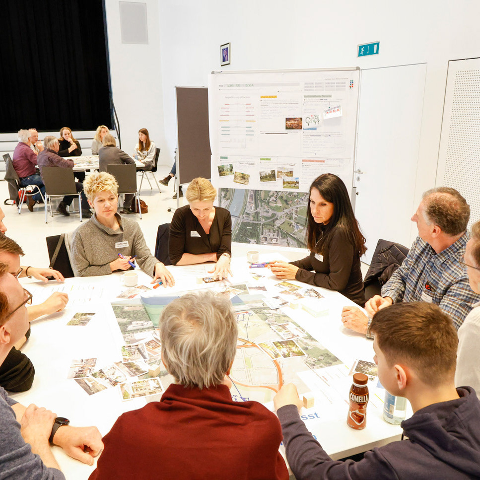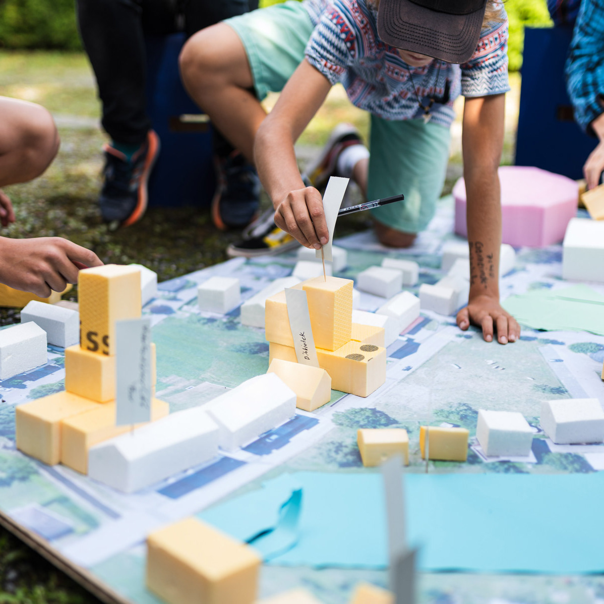
MITWIRKUNG ZUKUNFTSBILD ESCHNER ZENTRUM
YEAR | 2025
CLIENT | Eschen
COOPERATION | Salewski Nater Kretz AG |BÖE studio | TEAMverkehr
YEAR | 2025
CLIENT | Eschen
COOPERATION | Salewski Nater Kretz AG |BÖE studio | TEAMverkehr
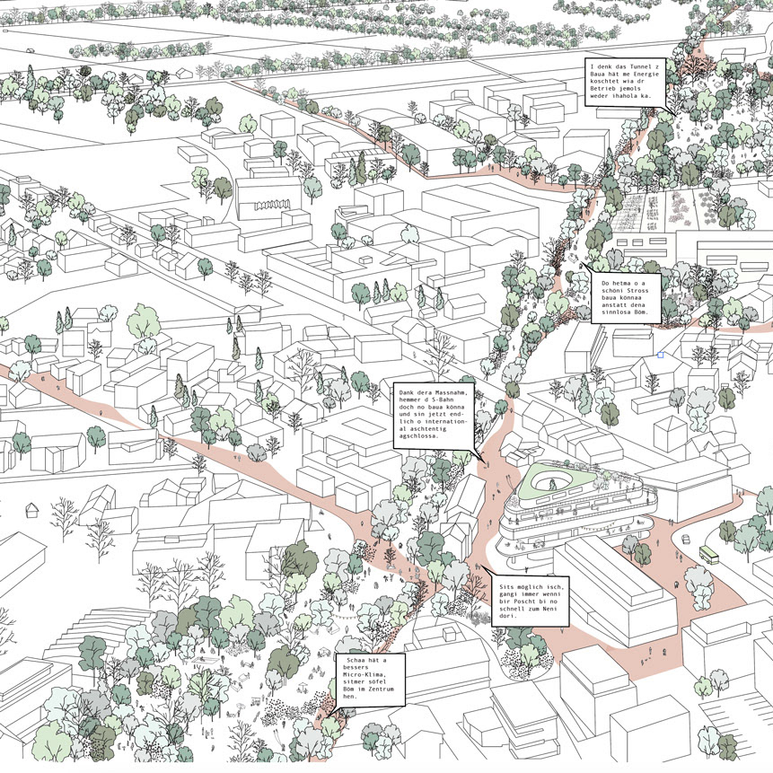
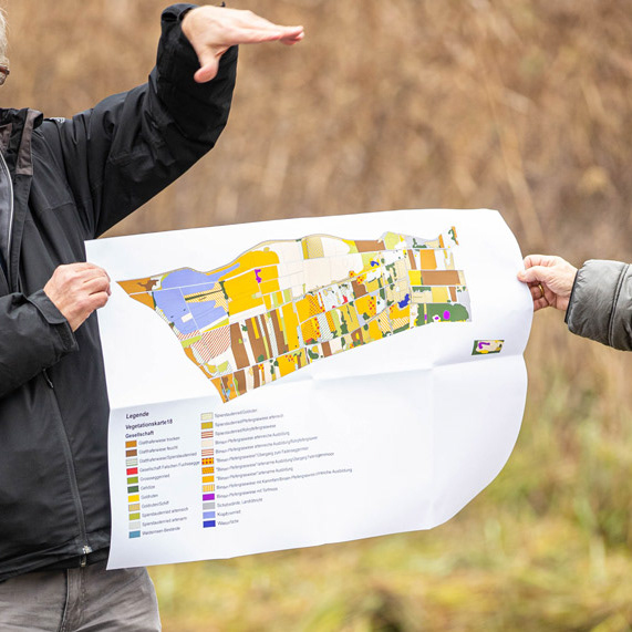
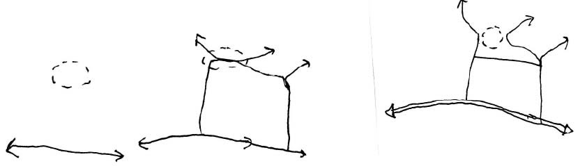
The spatial analysis of Eschen serves as a basis for identifying potential and developing a process for conducting a comprehensive assessment that involves the population.
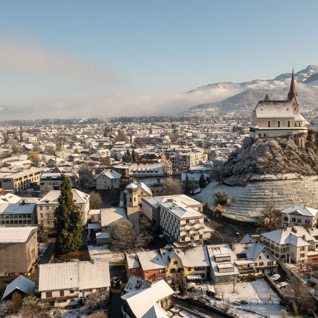
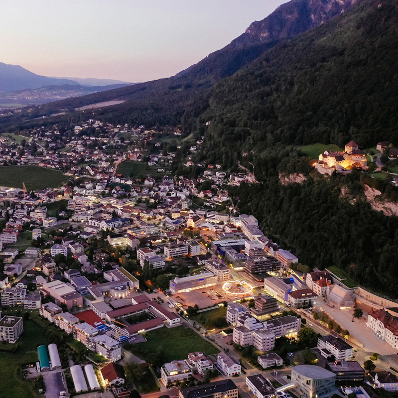
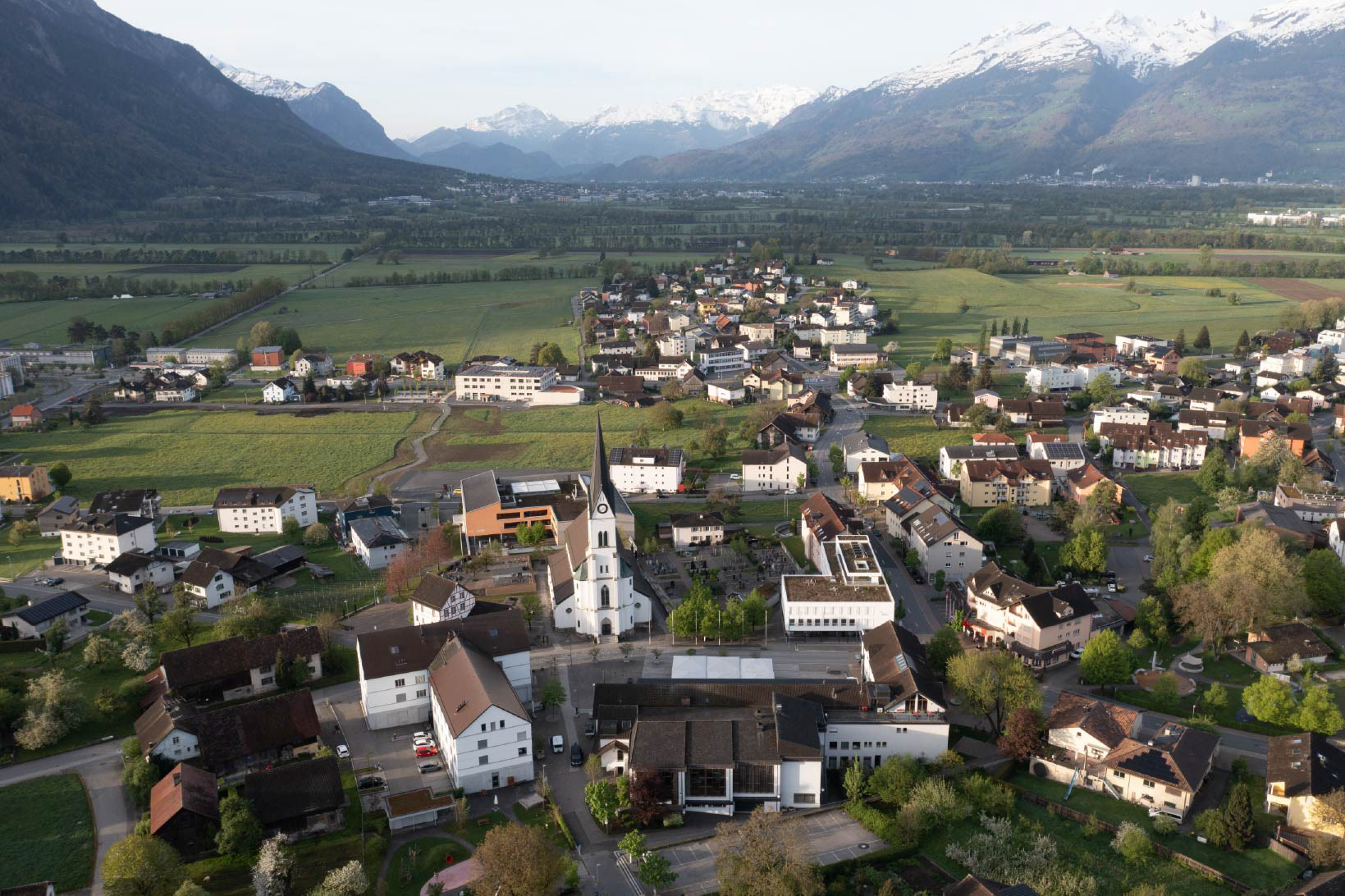
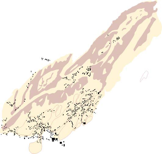
Over the centuries, Eschen has grown from a farming village into a regional center. Development followed transport routes before concentrating in the village center with public, residential, and small commercial buildings. In recent decades, Eschen has shifted from rural to residential with urban elements, expanding outward while the center remains its core. Today, zoning plans, unchanged for 50 years, guide growth but also create uniformity across neighborhoods.
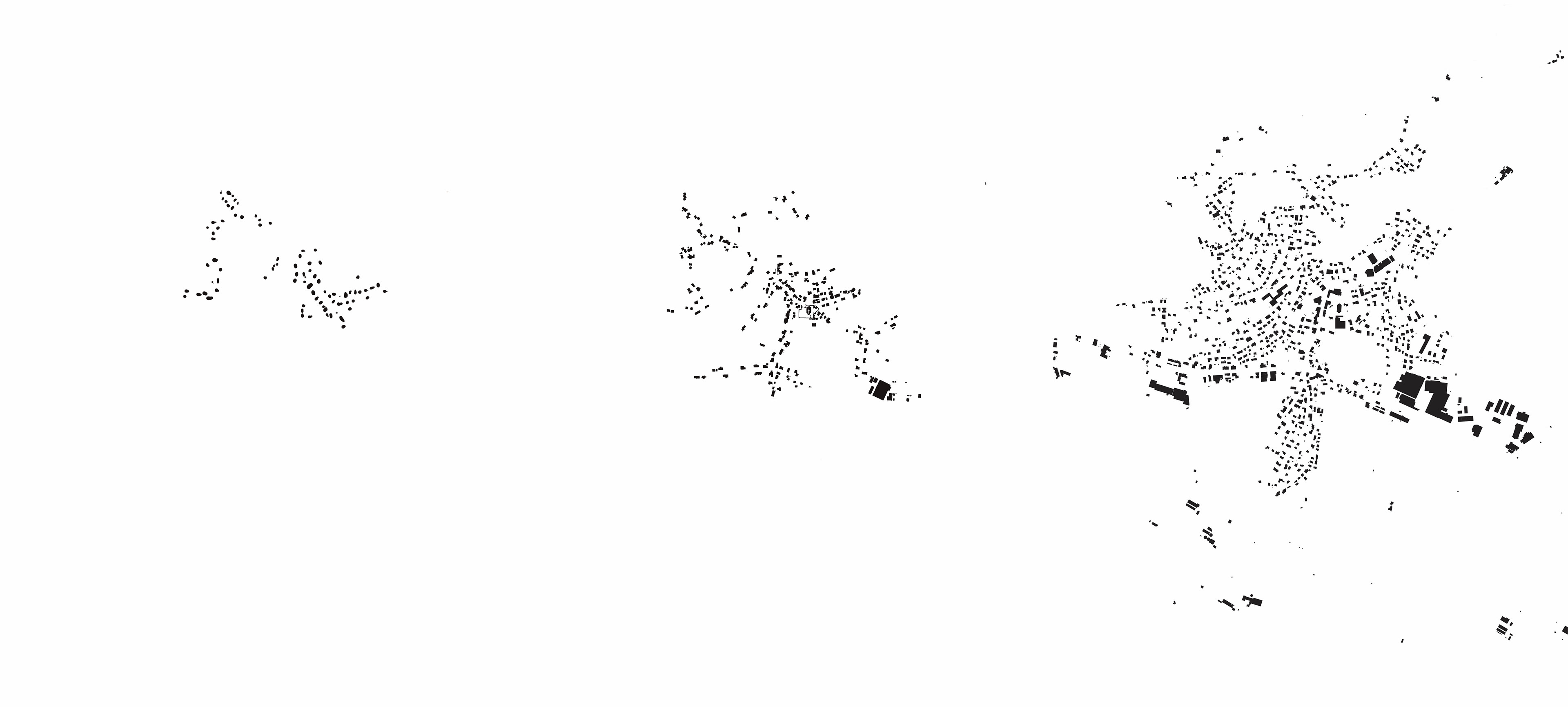
Until the 19th century, Eschen was a small village linked by footpaths, with buildings clustered around today’s center. The construction of Essanestrasse in 1836 transformed it into a key transport hub in the Unterland and spurred growth. More recently, traffic planning has shifted toward shared spaces and reduced car use, expanding pedestrian and bicycle paths. By improving access, safety, and quality of stay, the village center can become more vibrant and livable.
Until the 20th century, Eschen relied heavily on its agricultural landscape. Farming and livestock shaped the village well into the early 1900s, while settlement areas remained modest. From the 1950s, agricultural land declined, giving way to new spaces like playgrounds, parks, and renaturalized areas.
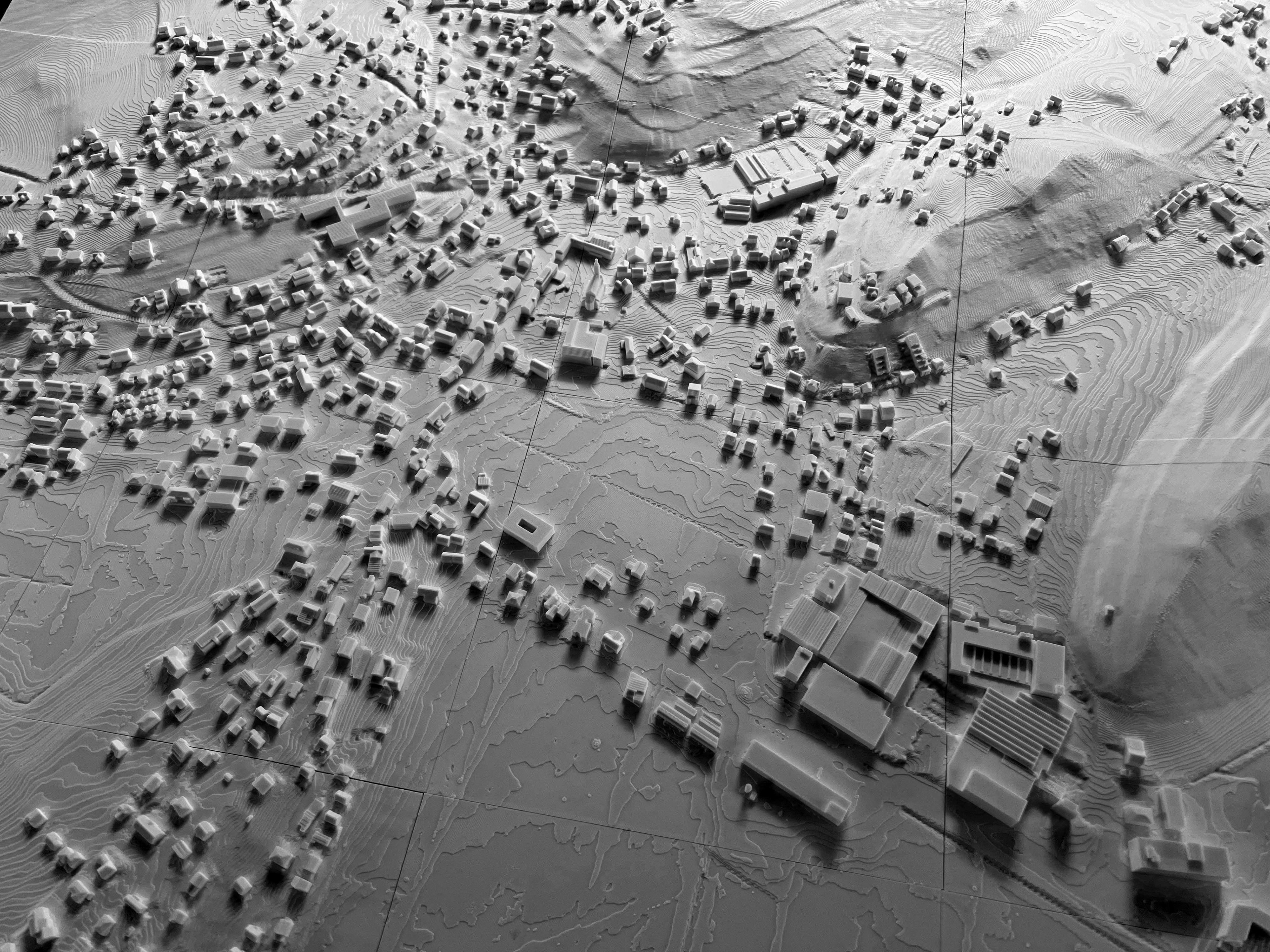
Village services once met all daily needs, though on a modest scale due to poverty. With rising mobility, many shifted to larger hubs, leaving villages less diverse. In recent years, however, favorable conditions and local commitment have revived village life.